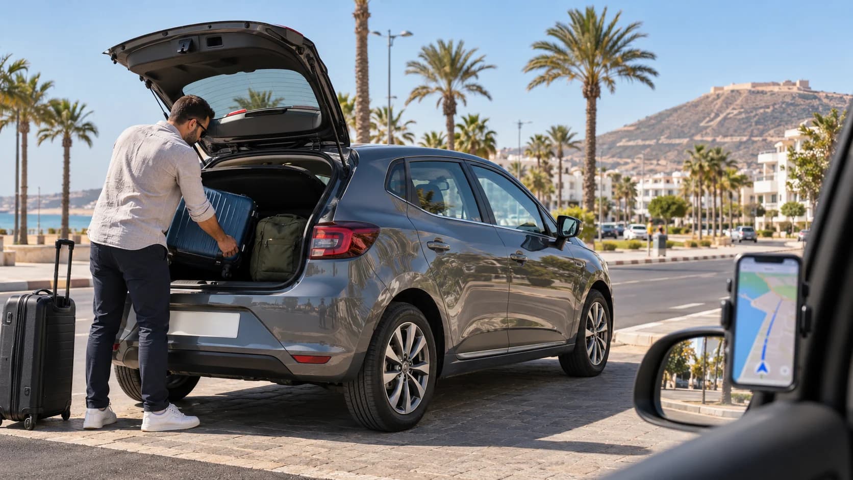









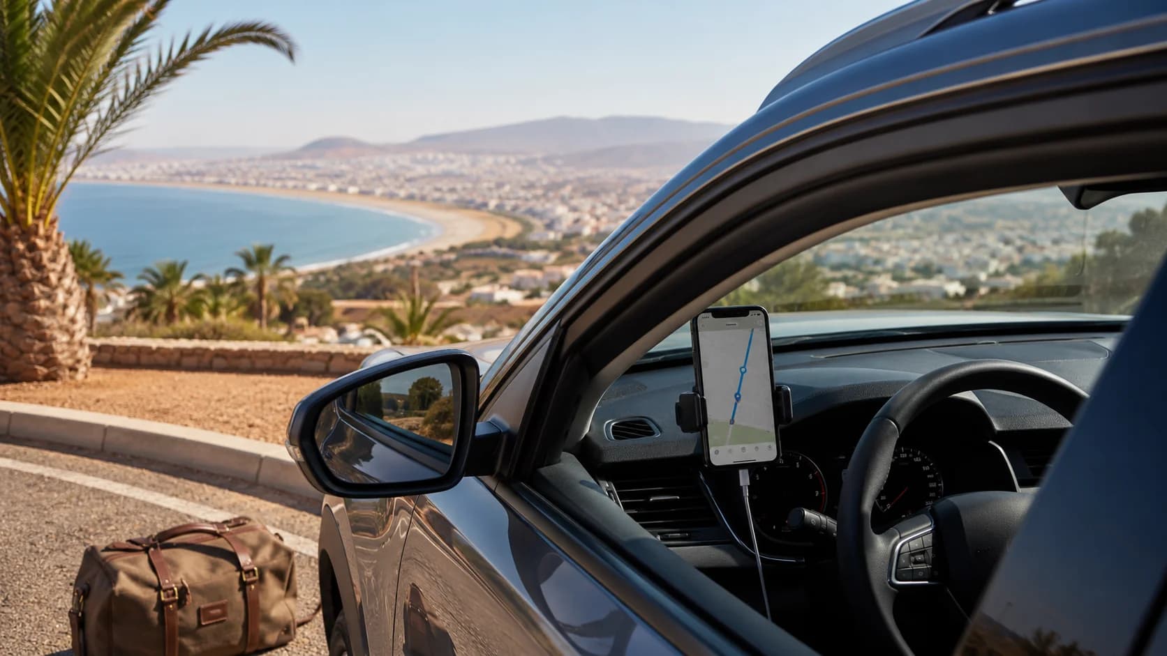
Driving around Agadir is easier when your navigation is ready before you leave the pickup point. With gps navigation morocco, offline maps, a basic data plan and a few saved locations, you can explore the city, the coast, the Souss Valley and southern Morocco with more confidence. This guide explains how to prepare your phone, when an eSIM helps, which apps work best and what to do on routes where the mobile signal becomes weaker.
Do You Need Data to Drive in Morocco?
You do not need mobile data every second to drive in Morocco, but it makes the trip smoother. GPS location can still work on your phone without data, but mobile data helps your map load new areas, update traffic, search for fuel stations, reroute around roadworks and find your exact hotel or meeting point.
In Agadir, Taghazout, Inezgane, Aourir and the main coastal roads, navigation is usually simple. Roads are open, signs are generally clear and mobile coverage is good in most busy areas. The main problem starts when you drive into valleys, mountain roads, desert-edge routes or smaller rural roads where your phone may lose data for a while.
That is why the best setup is simple: use mobile data when available, but download offline maps before the drive. Morocco’s 4G network coverage has expanded strongly, with ANRT documents noting 4G coverage for more than 99% of the population by mid-2025, but rural geography can still create weaker signal zones.
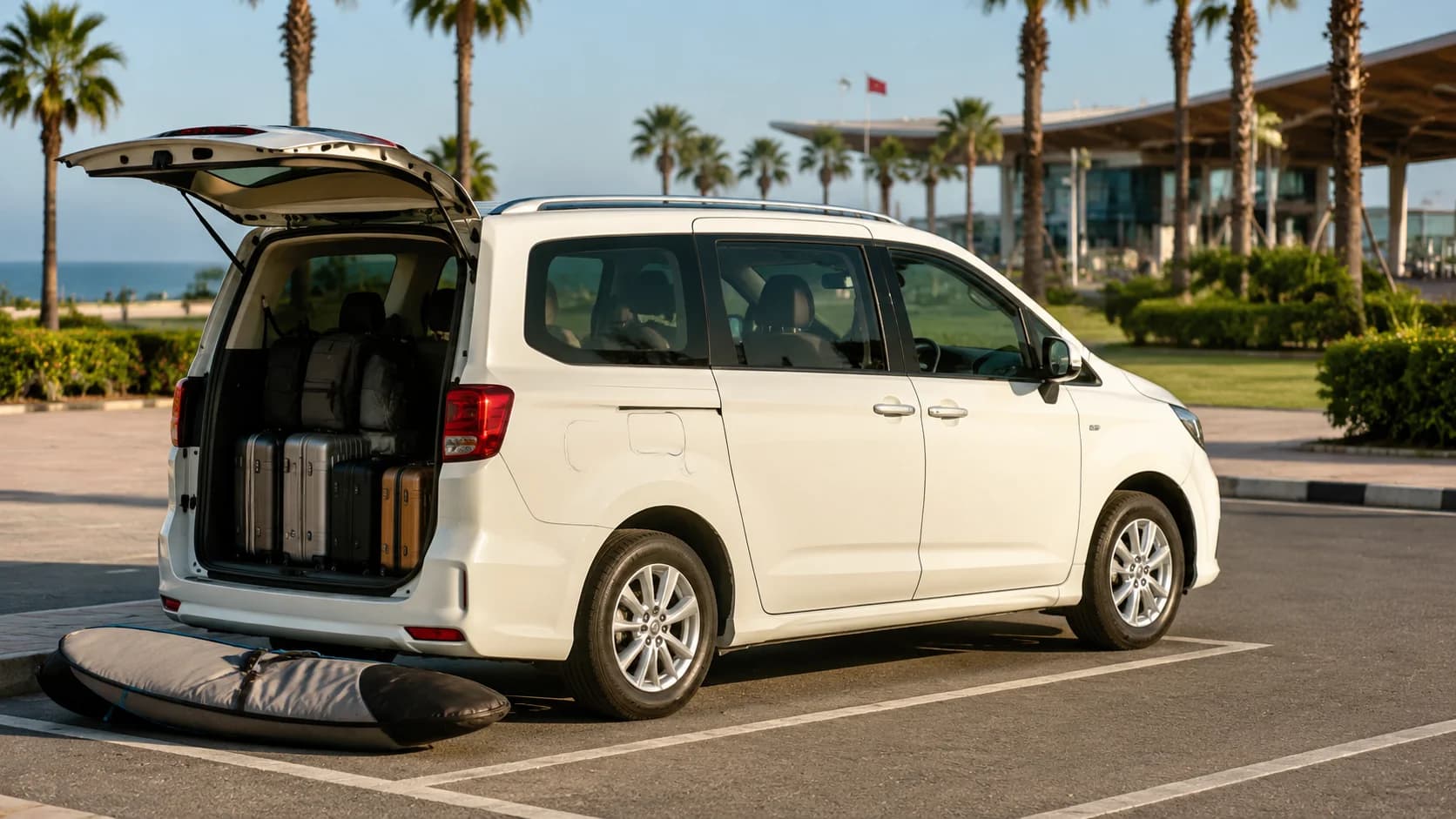
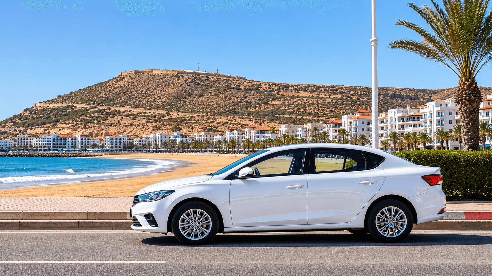
If you are renting a car for easy city driving, a comfortable sedan rental in Agadir is usually enough. For longer routes into mountains, beaches or rural roads, an SUV rental in Agadir gives more comfort and better road confidence.
Offline Maps: Downloading Your Route in Advance
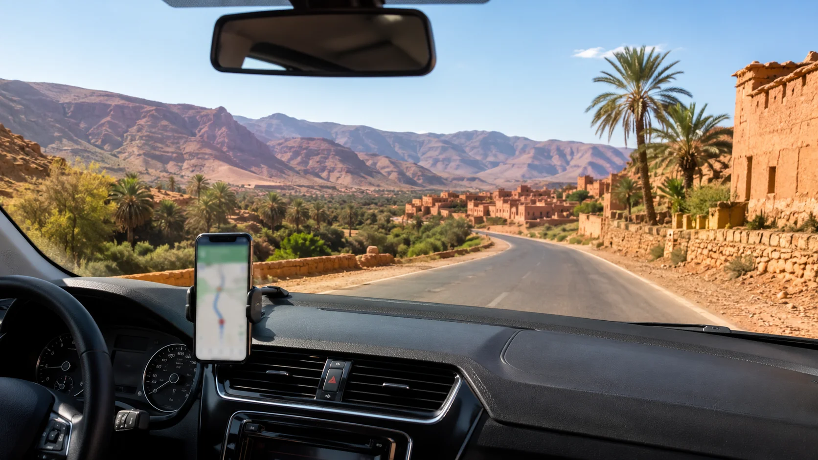
Offline maps are the most important step before driving outside Agadir. Google Maps allows users to download a selected area and navigate without a live internet connection, although live traffic and some search features work better with data.
Before your trip, open Google Maps while connected to Wi-Fi. Search “Agadir,” then download the wider area you plan to drive through. For a day trip, download Agadir plus your destination and the road between them. For a longer road trip, download each region separately, especially if you plan to visit Paradise Valley, Taroudant, Tafraoute, Tiznit, Legzira or desert-edge routes.
Do not only download the city. Zoom out and include the full route, fuel stops and return road. Offline maps can also expire, so update them before your flight or the night before your drive.
A smart habit is to start navigation while you still have Wi-Fi or strong mobile data. Once the route is loaded, your phone is more likely to keep guiding you even if the signal becomes weak for a short section.
eSIM vs Local SIM for Navigation
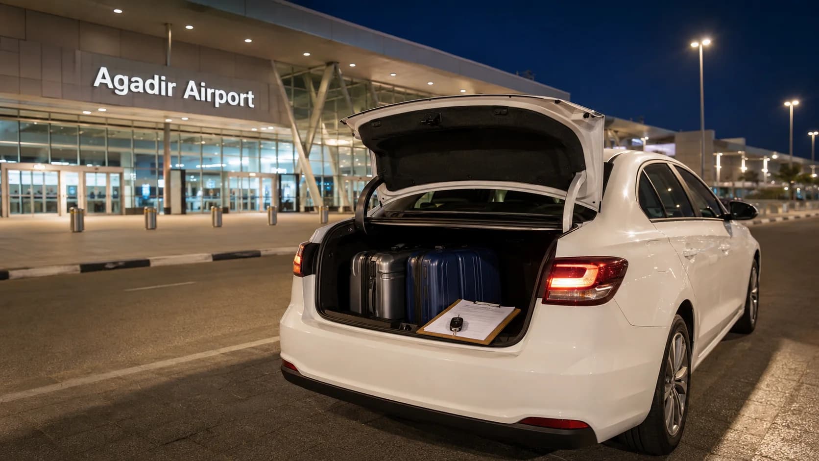
For most travelers, an eSIM is the easiest option for day one. You can install it before landing, activate data when you arrive and use WhatsApp, Google Maps and your hotel location immediately. This is useful if you are collecting a rental car at Agadir Al Massira Airport or meeting your driver at a hotel.
A local SIM can be cheaper if you stay longer or need a lot of data. Morocco has major mobile networks such as Maroc Telecom, Orange and inwi, and recent eSIM comparisons show that many travel eSIMs use local Moroccan network infrastructure, mainly Maroc Telecom and Orange.
Choose an eSIM if you want instant arrival data, no shop visit and no physical SIM swap. Choose a local SIM if you are staying longer, want more data for less money or prefer a local number. For a short Agadir holiday, an eSIM with enough data for maps, WhatsApp and light browsing is usually enough.
Even with eSIM data, keep offline maps downloaded. Data helps, but offline preparation is what saves you when the signal drops.
Best Navigation Apps for Morocco
Google Maps is the best all-round option for most visitors. It works well for city navigation, hotel locations, airport pickup points, restaurants, fuel stations and main driving routes. Its offline map feature makes it especially useful for Agadir and southern Morocco.
Waze is useful inside cities and on busy roads because it focuses on live traffic and road alerts. However, Waze is mainly designed around a data connection, so it should not be your only option for rural routes. Waze Help also directs users to check that mobile data is enabled for the app, which shows how important connectivity is for its normal use.
HERE WeGo is a good backup because it supports offline navigation and downloadable maps. Its official help explains how users can download maps by region before traveling.
MAPS.ME can also be useful for offline navigation, especially when you want a second map app that does not depend on live mobile data. Its app listing describes offline maps and navigation that can work without internet after download.
The best setup is not one app only. Use Google Maps as your main app, download offline maps, then keep HERE WeGo or MAPS.ME as a backup.
Routes Where Signal Drops
Around Agadir city, mobile signal is usually not the biggest issue. The routes where you should prepare more carefully are mountain roads, valleys, remote beaches and desert-edge drives.
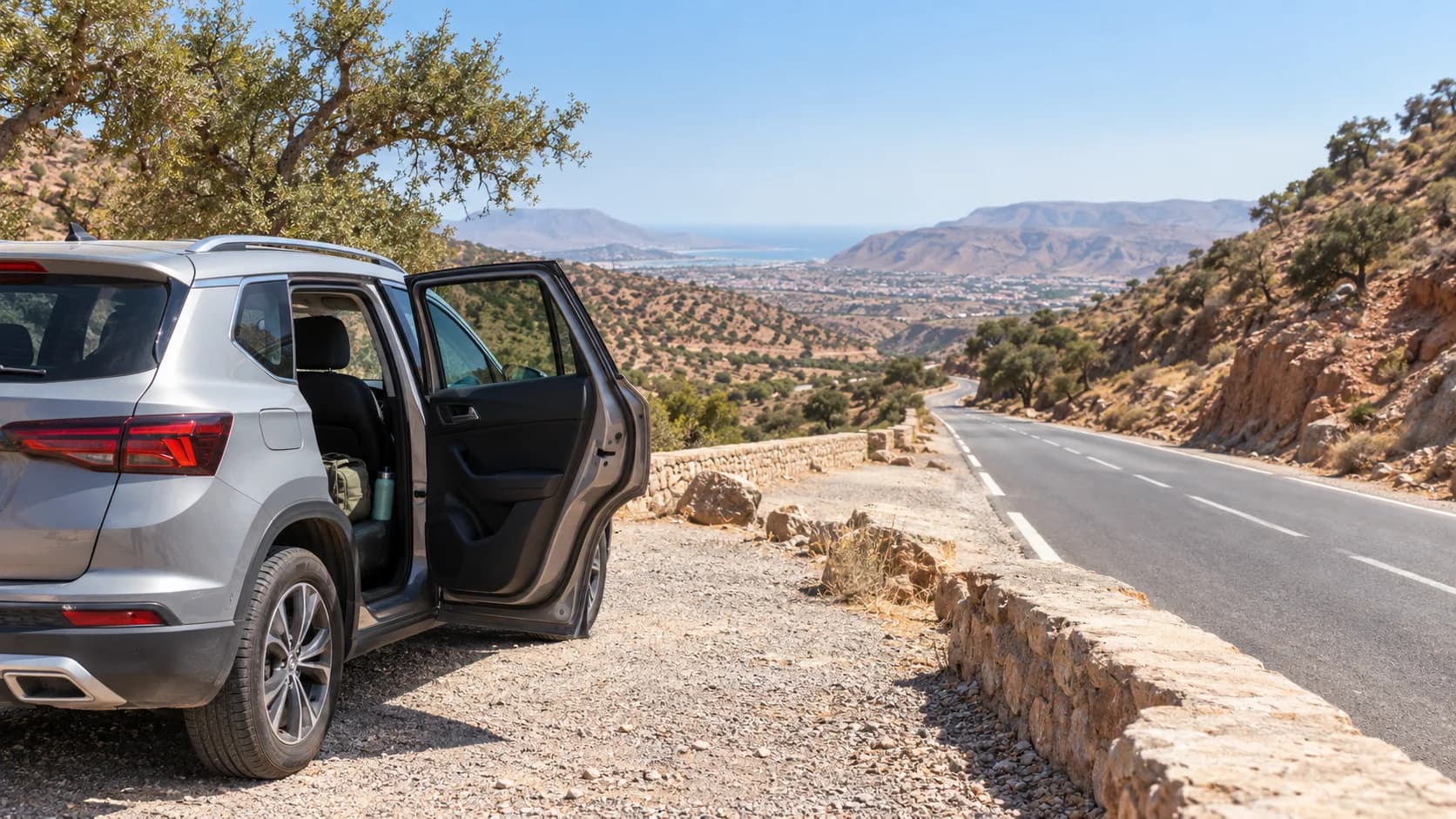
Paradise Valley can have weaker signal in some parts because the road passes through rocky valley areas. Tafraoute and Anti-Atlas routes can also have long stretches where data is slower or inconsistent. The same applies to roads toward Tata, remote sections beyond Tiznit, and some coastal areas farther south where towns are spread out.
On these routes, do not wait until you are already outside the city to search for directions. Save the destination, fuel stop, hotel, return route and pickup location before leaving. Check the estimated drive time, then add a little buffer because rural roads can be slower than the map suggests.
For travelers planning coastal drives, family trips or day routes with luggage, a cheap car rental in Agadir can work for simple paved-road routes, while an SUV is more comfortable for mountain or rural drives.
Paper Backup and Asking for Directions
A paper backup does not need to be complicated. Before you leave, take screenshots of the route overview, the hotel address, the pickup location and the final destination. Screenshots are useful because they stay on your phone even if the app reloads or data disappears.
Save important names in French or Arabic spelling when possible. Many local places have different spellings in map apps, signs and hotel confirmations. If you need to ask for directions, show the place name on your phone instead of trying to pronounce it from memory.
Fuel stations, cafés, police checkpoints and small shops can be useful places to ask for simple direction help. Keep the question basic: “Agadir?”, “Tiznit?”, “Paradise Valley?” or show the destination on your screen. In Morocco, people are often helpful, but you should still use your map to confirm the route.
Saving Fuel Stops and Meeting Points
Before driving, save your key stops. This includes the pickup point, hotel, airport, fuel station near return, parking point and any day-trip destination.
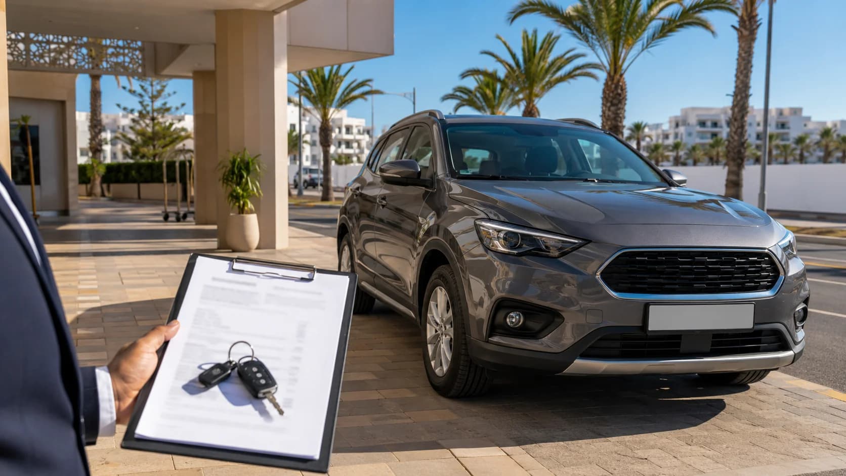
If MarHire Car Agadir is delivering your car, save the live location as soon as it is sent. Also save the plate number and pickup details in WhatsApp. This makes the first meeting easier, especially at the airport, a hotel entrance or a busy street.
For return, save a fuel station close to the drop-off point. This helps you avoid last-minute stress if the rental agreement requires returning the car with the same fuel level. Also save the final meeting point so you do not depend on searching while driving.
For more practical transport planning, you can also read the getting around Agadir guide.
Quick Pre-Drive Navigation Checklist
Before leaving Agadir, check these points:
-
Download offline maps for Agadir and your full route.
-
Start navigation before leaving Wi-Fi or strong signal.
-
Save your hotel, pickup point and return point.
-
Save at least one fuel station near your destination.
-
Take screenshots of the route and meeting location.
-
Keep your phone charged before the drive.
-
Bring a charging cable or car adapter.
-
Use Google Maps as main navigation and one backup app.
-
Confirm the road type before choosing a small car or SUV.
-
Keep the MarHire WhatsApp chat easy to find.
Get Your Route Ready Before Pickup
A smooth drive starts before the engine starts. MarHire Car Agadir can send a live location and plate number before pickup, so day one is easier whether you are arriving at the airport, meeting at your hotel or starting a road trip from Agadir. Prepare your offline maps, save your route and choose the right car for your plan, from a city sedan to a comfortable SUV for longer drives.
FAQs
Does Google Maps work in Morocco?
Yes, Google Maps works in Morocco and is widely used for driving, hotel locations, fuel stations and routes between cities. For better reliability, download offline maps before leaving Agadir, especially for mountain or rural roads.
Do I need an eSIM to drive in Morocco?
You do not strictly need an eSIM, but it helps. An eSIM gives you mobile data on arrival, which makes it easier to use maps, WhatsApp, hotel pins and pickup locations from the first day.
How do I use offline maps for a road trip?
Download the map area while connected to Wi-Fi. Include your starting point, destination, return road, fuel stops and nearby towns. Start the route before driving away from a strong signal area.
Is there signal on rural roads in Morocco?
Many rural roads have coverage, but signal can become weaker in valleys, mountain areas and desert-edge routes. Offline maps are the safest backup for these sections.
What is the best navigation app for Morocco?
Google Maps is the best main app for most travelers. HERE WeGo or MAPS.ME can be useful backup apps because they support offline navigation. Waze is useful in cities but depends more on live data.
Should I get a local SIM or eSIM?
Get an eSIM if you want quick data as soon as you arrive. Get a local SIM if you are staying longer and want more data at a better local price. For many short trips, an eSIM plus offline maps is enough.
Can I navigate without mobile data?
Yes, if you download offline maps in advance. GPS location can still show your position, but live traffic, new searches and rerouting may be limited without data.
How do I save my pickup meeting point?
Open the live location or map pin sent by MarHire Car Agadir, then save it in your map app. Also keep the WhatsApp message with the plate number, delivery time and meeting details.
What should I do if my map loses signal?
Keep driving calmly if the road is clear and your offline route is still loaded. Avoid making random turns. Stop safely when possible, check your screenshot or offline map, then continue when you are sure.
Is an SUV better for routes outside Agadir?
For normal city and coastal driving, a sedan is usually comfortable. For mountain roads, valleys, rural beaches or longer southern routes, an SUV can give more comfort, visibility and confidence.